
P-1
Priority intersection
Danger due to the proximity of an intersection with a road whose users must yield the right of way.

Mis à jour en 2026
Liste complète des 380 panneaux de signalisation verticale officiels, classés par catégorie avec leur code, leur nom et leur description pour préparer le permis de conduire.
380 panneaux sur 380
Catégorie
Révisez jusqu'à 10 panneaux de la catégorie choisie, avec correction et explication. La recherche ne fait que filtrer le catalogue.
58 panneaux
P-1
Danger due to the proximity of an intersection with a road whose users must yield the right of way.

P-1a
Danger due to the proximity of an intersection with a road on the right whose users must yield the right of way.

P-1b
Danger due to the proximity of an intersection with a road on the left whose users must yield the right of way.

P-1c
Danger due to the proximity of a road merging from the right whose users must yield the right of way.

P-1d
Danger due to the proximity of a road merging from the left whose users must yield the right of way.

P-1e
Danger due to the proximity of a section where there are several direct accesses to the road, and users of such direct accesses must yield the right of way.

P-2
Danger due to the proximity of an intersection where the general rule of priority from the right applies.

P-3
Danger due to the proximity of an isolated intersection or road section where traffic is regulated by traffic lights.

P-4
Danger due to the proximity of an intersection where traffic flows in a rotary manner in the direction of the arrows.
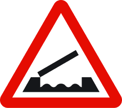
P-5
Danger ahead due to the proximity of a bridge that can be raised or rotated, thereby temporarily interrupting traffic.
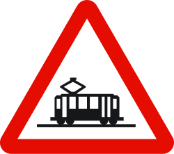
P-6
Danger due to the proximity of a crossing with a tram line, which has the right of way.

P-7
Danger due to the proximity of a level crossing equipped with barriers or half-barriers.
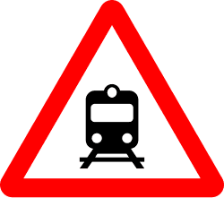
P-8
Danger due to the proximity of a level crossing not equipped with barriers or half-barriers.

P-9a
Indicates, on the right side of the road, that there is a level crossing, a movable bridge or a quay 200 meters ahead. It is always accompanied by sign P-5, P-7, P-8 or P-27.

P-9b
Indicates, on the right side of the road, that there is a level crossing, a movable bridge or a quay 150 meters ahead.

P-9c
Indicates, on the right side of the road, that there is a level crossing, a movable bridge or a quay 100 meters ahead.

P-10a
Indicates, on the left side of the road, that there is a level crossing, a movable bridge or a quay 200 meters ahead. It is always accompanied by sign P-5, P-7, P-8 or P-27.

P-10b
Indicates, on the left side of the road, that there is a level crossing, a movable bridge or a quay 150 meters ahead.

P-10c
Indicates, on the left side of the road, that there is a level crossing, a movable bridge or a quay 100 meters ahead.

P-11
Danger due to the immediate presence of a level crossing without barriers.

P-11a
Danger due to the immediate presence of a level crossing without barriers with more than one railway line.

P-12
Danger due to the proximity of a place where aircraft frequently fly at a low altitude over the road.

P-13a
Danger due to the proximity of a dangerous curve to the right.

P-13b
Danger due to the proximity of a dangerous curve to the left.

P-14a
Danger due to the proximity of a succession of curves close to each other; the first one to the right.

P-14b
Danger due to the proximity of a succession of curves close to each other; the first one to the left.

P-15
Danger due to the proximity of a hump, dip, or road surface in poor condition.

P-15a
Danger due to the proximity of a hump in the road.

P-15b
Danger due to the proximity of a dip in the road.
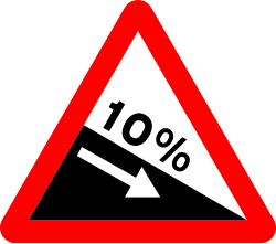
P-16a
Danger due to the existence of a road section with a steep downward gradient. The figure indicates the percentage gradient.
P-16b
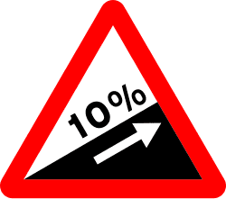
Danger due to the existence of a road section with a steep upward gradient. The figure indicates the percentage gradient.
P-17
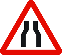
Danger due to the possibility of a zone of the road where the carriageway narrows.
P-17a
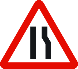
Danger due to the proximity of a zone of the road where the carriageway narrows on the right side.

P-17b
Danger due to the proximity of a zone of the road where the carriageway narrows on the left side.

P-18
Danger due to the proximity of a section of road under construction.
P-19
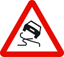
Danger due to the proximity of a section of the carriageway where the surface can become very slippery.
P-20a
Danger due to the proximity of one or more pedestrian crossings.
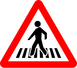
P-20b
Danger due to the proximity of a place or road section with a high volume of pedestrian traffic.
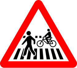
P-20c
Danger due to the proximity of a pedestrian crossing adjacent to or shared with a crossing for cyclists.

P-21a
Danger due to the proximity of a place frequented by children, such as schools, playgrounds, etc.

P-21b
Danger due to the proximity of a place frequented by people with mobility or sensory difficulties.
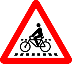
P-22a
Danger of one or several crossings for cyclists.
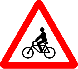
P-22b
Danger due to the proximity of a road section with frequent cycle traffic.
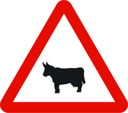
P-23
Danger due to the proximity of a place where the road may frequently be crossed by domestic animals.
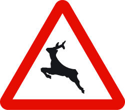
P-24
Danger due to the proximity of a place where the road may frequently be crossed by wild animals.

P-24a
Danger due to the proximity of a place where the road may frequently be crossed by wild animals, with a very significant proportion being wild boars.

P-25
Danger due to the proximity of a section of the carriageway where traffic temporarily or permanently flows in both directions.
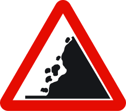
P-26
Danger due to the proximity to an area with frequent falling rocks and the subsequent possible presence of obstacles on the carriageway.
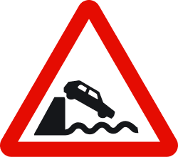
P-27
Danger because the road leads onto a quay or a body of water.
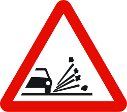
P-28
Danger due to the proximity of a road section where there is a risk of loose chippings being thrown up by passing vehicles.
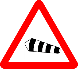
P-29
Danger due to the proximity of an area where strong crosswinds frequently blow.
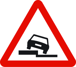
P-30
Danger due to the existence of a drop along the road on the side indicated by the symbol.
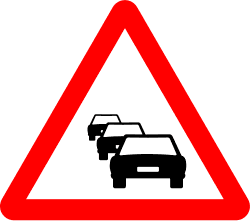
P-31
Danger due to the proximity of a section where traffic is stationary or delayed due to congestion.
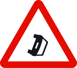
P-32
Danger due to the proximity of a place where vehicles obstruct the carriageway due to a breakdown, accident, or other causes.
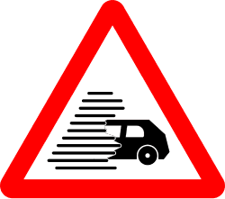
P-33
Danger due to the proximity of a section where traffic is hindered by a significant loss of visibility caused by fog, rain, snow, smoke, etc.
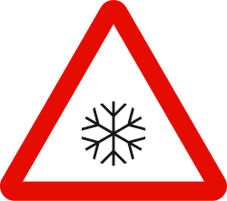
P-34
Danger due to the proximity of an area of the carriageway whose surface can become particularly slippery due to ice or snow.
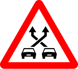
P-35
Danger due to the proximity of a section between a merge and a fork where different lane-changing movements are performed by vehicles, crossing their paths and thereby increasing the risk of collisions.

P-50
Indicates the proximity of a danger different from those warned by other signs.
6 panneaux

R-1
Obligation for every driver to yield the right of way at the next intersection to vehicles traveling on the road they are approaching or the lane they intend to merge into.

R-2
Obligation for every driver to stop their vehicle before the next stop line or, if none exists, immediately before the intersection, and yield the right of way to vehicles traveling on the road they are approaching. If, due to exceptional circumstances, there is insufficient visibility from the place where the stop was made, the driver must stop again at the place where they have visibility, without endangering any road user.

R-3
Indicates to drivers of vehicles traveling on a carriageway their priority at intersections over vehicles traveling on another carriageway.

R-4
Indicates the proximity of the place where the road being traveled loses its priority with respect to another road.

R-5
Prohibition of entry into a narrow passage unless it is possible to cross it without forcing oncoming vehicles to stop.
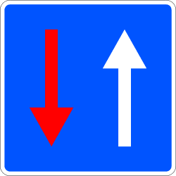
R-6
Indicates to drivers that, at an upcoming narrow passage, they have priority over oncoming vehicles.
21 panneaux

R-100
Prohibition of traffic for all types of vehicles in both directions.

R-101
Prohibition of access for all types of vehicles.
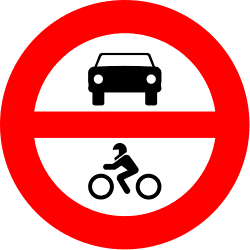
R-102
Prohibition of access for motor vehicles.
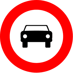
R-103
Prohibition of access for motor vehicles. It does not prohibit access to two-wheeled motorcycles.

R-104
Prohibition of access for motorcycles.
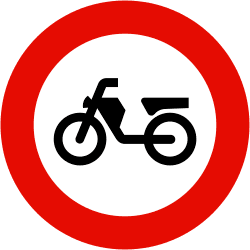
R-105
Prohibition of access for mopeds. It likewise prohibits entry to vehicles for persons with reduced mobility.
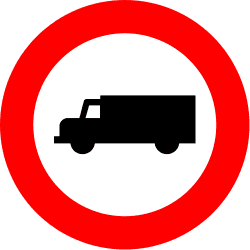
R-106
Prohibition of access for vehicles intended for the transport of goods, understood as trucks and vans regardless of their mass.
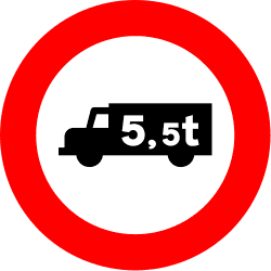
R-107
Prohibition of access for all types of goods transport vehicles if their maximum authorized weight is higher than indicated. It prohibits access even if they are empty.

R-108
Prohibition of passage for all types of vehicles carrying dangerous goods that must circulate in accordance with their special regulations.
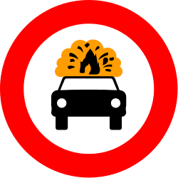
R-109
Prohibition of passage for all types of vehicles carrying explosive or easily flammable goods.

R-110
Prohibition of passage for all types of vehicles carrying more than one thousand liters of products capable of contaminating water.
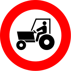
R-111
Prohibition of access for tractors and other self-propelled agricultural machinery.
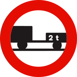
R-112
The inscription of a tonnage figure, either on the silhouette of the trailer or on an additional plate, means that the prohibition of passage only applies when the maximum authorized weight of the trailer exceeds that figure.
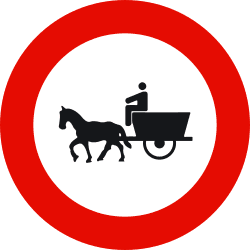
R-113
Prohibition of access for animal-drawn vehicles.

R-114
Prohibition of access for cycles.
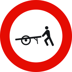
R-115
Prohibition of access for handcarts.
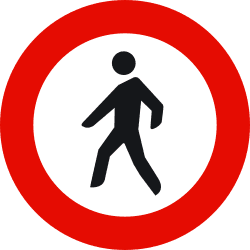
R-116
Prohibition of access for pedestrians.
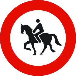
R-117
Prohibition of access for ridden animals.
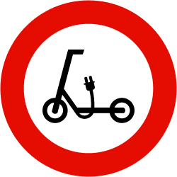
R-118
Prohibition of access for personal mobility devices (PMVs).
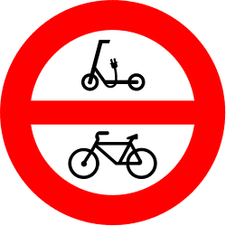
R-119
Prohibition of access for cycles and personal mobility devices.
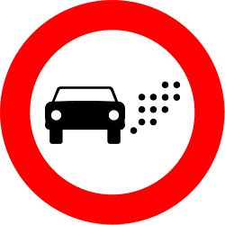
R-120
Prohibition of access for vehicles based on their environmental badge or other environmental criteria that are established. The conditions will be specified on a supplementary panel S-860 or on a sign that includes the signal, referring where appropriate to the classification of each vehicle based on its environmental badge, as established by regulations.
6 panneaux

R-200
Indicates the place where stopping is mandatory due to the proximity, according to the inscription it contains, of a customs post, police post, toll, or other post, and that mechanical stopping devices may be installed behind them.
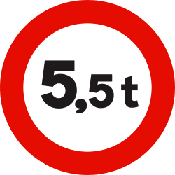
R-201
Prohibition of passage for vehicles whose laden weight, or total weight, exceeds the indicated tonnage.
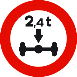
R-202
Prohibition of passage for vehicles whose total weight on any axle exceeds the indicated tonnage.
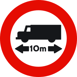
R-203
Prohibition of passage for vehicles or combinations of vehicles whose maximum length, including the load, exceeds the indicated length.
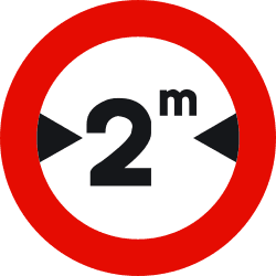
R-204
Prohibition of passage for vehicles whose maximum width, including the load, exceeds the indicated width.
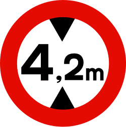
R-205
Prohibition of passage for vehicles whose maximum height, including the load, exceeds the indicated height.
20 panneaux
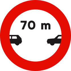
R-300
Prohibition of driving without maintaining a separation equal to or greater than that indicated on the sign from the preceding vehicle, except to overtake. If it appears without the indication in meters, it serves as a generic reminder that the regulatory safety distance between vehicles must be kept.
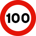
R-301
Prohibition of driving at a speed higher, in kilometers per hour, than indicated on the sign. It applies from the location where it is situated until the next "end of speed limit" sign, "end of prohibitions" sign, or another "maximum speed" sign, unless it is placed on the same post as a danger warning sign or on the same panel as one, in which case the prohibition ends when the indicated danger terminates. Situated on a non-priority road, it ceases to be valid upon leaving an intersection with a priority road. If the limit indicated by the sign matches the maximum speed allowed for that type of road, it serves as a generic reminder of the prohibition to exceed it.

R-302
Prohibition of changing direction to the right.

R-303
Prohibition of turning left. It also includes the prohibition of making a U-turn.

R-304
Prohibition of changing the direction of travel (U-turn).
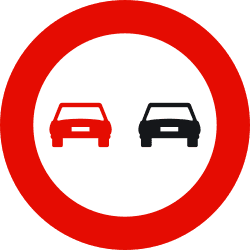
R-305
In addition to the general principles on overtaking, it indicates the prohibition for all vehicles to overtake motor vehicles traveling on the road, unless they are two-wheeled motorcycles and provided that the zone reserved for oncoming traffic is not encroached upon, starting from the place where the sign is located and until the next "End of overtaking prohibition" or "End of prohibitions" sign. Placed in locations where overtaking is prohibited by regulation, it serves as a generic reminder of the prohibition to perform this maneuver.
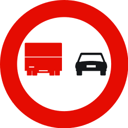
R-306
Prohibition for trucks whose maximum authorized mass exceeds 3,500 kilograms to overtake motor vehicles traveling on the road, unless they are two-wheeled motorcycles and provided that the zone reserved for oncoming traffic is not encroached upon, starting from the place where the sign is located and until the next "End of overtaking prohibition for trucks" or "End of prohibitions" sign.

R-307
Prohibition of stopping and parking on the side of the road where the sign is located. Unless otherwise indicated, the prohibition begins at the vertical of the sign and ends at the nearest intersection.

R-307a
Prohibition of stopping and parking on the side of the road where the sign is located, in the section between the nearest intersections or R-307b and R-307c signs on both sides of the sign.

R-307b
Prohibition of stopping and parking on the side of the road where the sign is located, in the section between the sign and the nearest intersection or R-307c sign in the direction indicated by the arrow.

R-307c
Prohibition of stopping and parking on the side of the road where the sign is located, in the section between the sign and the nearest intersection or R-308b sign in the direction indicated by the arrow.

R-308
Prohibition of parking on the side of the road where the sign is located. Unless otherwise indicated, the prohibition begins at the vertical of the sign and ends at the nearest intersection. It does not prohibit stopping.
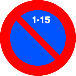
R-308c
Prohibition of parking on the side of the road where the sign is located, from 09:00 on the 1st day until 09:00 on the 16th day. Unless otherwise indicated, the prohibition begins at the vertical of the sign and ends at the nearest intersection. It does not prohibit stopping.
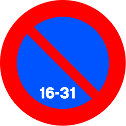
R-308d
Prohibition of parking on the side of the road where the sign is located, from 09:00 on the 16th day until 09:00 on the 1st day. Unless otherwise indicated, the prohibition begins at the vertical of the sign and ends at the nearest intersection. It does not prohibit stopping.
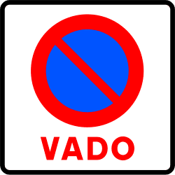
R-308e
Prohibits parking in front of a registered driveway (vado).

R-308f
Prohibition of parking on the side of the road where the sign is located, in the section between the nearest intersections or R-308g and R-308h signs on both sides of the sign. It does not prohibit stopping.

R-308g
Prohibition of parking on the side of the road where the sign is located, in the section between the sign and the nearest intersection or R-308h sign in the direction indicated by the arrow. It does not prohibit stopping.

R-308h
Prohibition of parking on the side of the road where the sign is located, in the section between the sign and the nearest intersection or R-308g sign in the direction indicated by the arrow. It does not prohibit stopping.

R-309
Parking zone of limited duration and obligation for the driver to indicate, in a regulatory manner, the start time of parking.

R-310
Reminds of the general prohibition of using acoustic signals, except to avoid an accident.
24 panneaux

R-400
The arrow points out the direction and sense that vehicles are obliged to follow.

R-401
The arrow points out the side of the refuge, traffic island, or obstacle that vehicles must pass.

R-402
The arrows indicate the direction and sense of the rotary movement that vehicles must follow.

R-403
The arrows point out the only directions and senses that vehicles are allowed to take.

R-404
Obligation for drivers of cars, except two-wheeled motorcycles without sidecar, to travel on the road at whose entrance the sign is located.

R-405
Obligation for drivers of two-wheeled motorcycles without sidecar to travel on the road at whose entrance the sign is located.

R-406
Obligation for drivers of all types of trucks, regardless of their weight, to travel on the road at whose entrance the sign is located. The inscription of a tonnage figure, either on the silhouette of the vehicle or on another supplementary plate, means that the obligation only applies when the maximum authorized weight of the vehicle or combination of vehicles exceeds the stated figure.

R-407a
Obligation for drivers of cycles to travel on the track at whose entrance the sign is located and prohibition for other road users to use it.
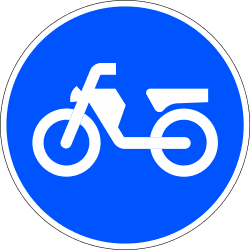
R-407b
Obligation for drivers of mopeds to travel on the track at whose entrance the sign is located and prohibition for other road users to use it.

R-408
Obligation for drivers of animal-drawn vehicles to use the track at whose entrance the sign is located.

R-409
Obligation for riders to use with their ridden animals the track at whose entrance the sign is located and prohibition for other road users to use it.
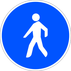
R-410
Obligation for pedestrians to walk along the path at whose entrance the sign is located and prohibition for other road users to use it.

R-411
Obligation for drivers of vehicles to travel at least at the speed indicated by the figure, in kilometers per hour, shown on the sign, from the place where it is located until another different 'minimum speed' sign, or an 'end of minimum speed' sign, or a 'maximum speed' sign of equal or lower value.

R-412
Obligation not to continue driving without snow chains or other authorized devices, acting on at least one wheel on each side of the same drive axle.

R-412b
Obligation not to continue driving without special winter tyres.

R-413
Obligation for drivers to drive with at least dipped or low-beam headlights, regardless of the visibility or lighting conditions of the road, from the place where the sign is located until another sign indicating the end of this obligation.

R-414
Obligation for drivers of all types of vehicles carrying dangerous goods to travel on the road at whose entrance the sign is located.

R-415
Obligation for drivers of all types of vehicles carrying more than 1,000 liters of water-polluting products to travel on the road at whose entrance the sign is located.
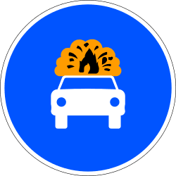
R-416
Obligation for drivers of all types of vehicles carrying explosive or flammable goods to travel on the road at whose entrance the sign is located.

R-418
Mandatory electronic toll collection. Obligation to make the toll payment via the dynamic toll or electronic toll system; the vehicle traveling through the lane or lanes signed as such must be provided with the technical means that allow its use in operational conditions in accordance with legal provisions on the matter.

R-419
Obligation for drivers of tractors to use the track at whose entrance the sign is located.
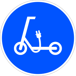
R-420
Obligation for drivers of personal mobility devices to travel on the track at whose entrance the sign is located and prohibition for other road users to use it.
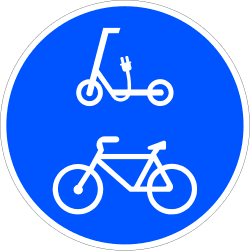
R-421
Obligation for drivers of cycles and personal mobility devices to travel on the track at whose entrance the sign is located and prohibition for other road users to use it.
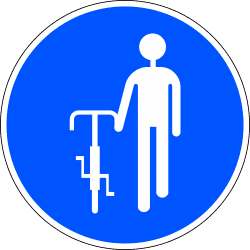
R-422
Obligation for users of cycles to continue on foot. If this obligation is limited to certain periods, it will be indicated by a supplementary panel.
17 panneaux

R-500
Indicates the place from which all local prohibitions indicated by previous prohibitory signs for moving vehicles cease to apply.

R-501
Indicates the place from which a previous "maximum speed" sign ceases to apply.
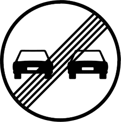
R-502
Indicates the place from which a previous "no overtaking" sign ceases to apply.
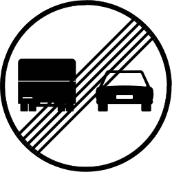
R-503
Indicates the place from which a previous "no overtaking for trucks" sign ceases to apply.

R-504
Indicates the place from which a previous "limited parking zone" sign ceases to apply.

R-505
Indicates the place from which a previous sign for a track reserved and mandatory for cycles ceases to apply.

R-506
Indicates the place from which a previous minimum speed sign ceases to apply.
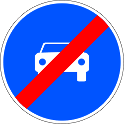
R-507
Indicates the place from which a previous sign for a mandatory road for cars, except two-wheeled motorcycles and 3-wheeled vehicles assimilated to motorcycles, ceases to apply.
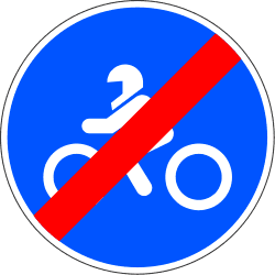
R-508
Indicates the place from which a previous sign for a mandatory road for two-wheeled motorcycles and 3-wheeled vehicles assimilated to motorcycles, ceases to apply.
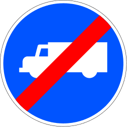
R-509
Indicates the place from which a previous sign for a mandatory road for trucks, tractor-units, and vans ceases to apply.

R-510
Indicates the place from which a previous sign for a track reserved and mandatory for mopeds ceases to apply.
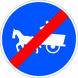
R-511
Indicates the place from which a previous sign for a mandatory track for animal-drawn vehicles ceases to apply.

R-512
Indicates the place from which a previous sign for a track reserved and mandatory for ridden animals ceases to apply.
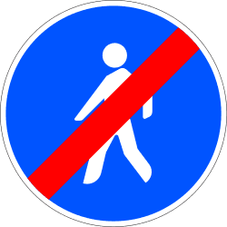
R-513
Indicates the place from which a previous sign for a path reserved and mandatory for pedestrians ceases to apply.

R-514
Indicates the place from which a previous sign for a mandatory track for tractors ceases to apply.
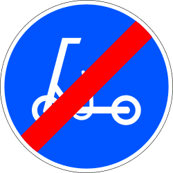
R-515
Indicates the place from which a previous sign for a track reserved and mandatory for personal mobility devices ceases to apply.
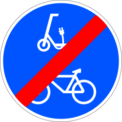
R-516
Indicates the place from which a previous sign for tracks reserved and mandatory for cycles and personal mobility devices ceases to apply.
65 panneaux
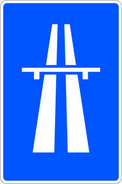
S-1
Indicates the beginning of a motorway and, therefore, the place from which special traffic rules apply on this type of road. The symbol of this sign can announce the proximity of a motorway or indicate the branch of an intersection leading to a motorway.
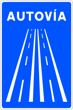
S-1a
Indicates the beginning of a dual carriageway and, therefore, the place from which special traffic rules apply on this type of road. The symbol of this sign can announce the proximity of a dual carriageway or indicate the branch of an intersection leading to a dual carriageway.
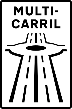
S-1b
Indicates the beginning of a multi-lane road and, therefore, the place from which special traffic rules apply on this type of road. This sign can indicate the branch of a junction leading to a multi-lane road.
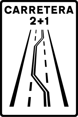
S-1c
Indicates the beginning of a 2+1 road, meaning one consisting of three traffic lanes that allows traffic in both directions. The central lane is intended to facilitate overtaking, being reserved alternately for one direction of traffic or the other. This sign can also indicate the branch of a junction leading to a 2+1 road.
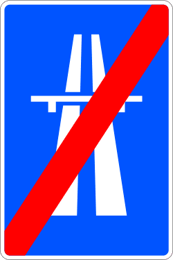
S-2
Indicates the end of a motorway.
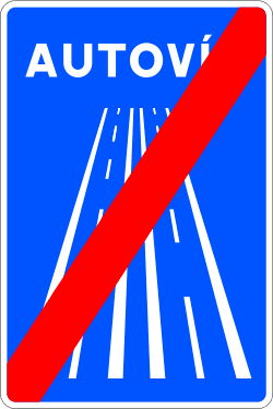
S-2a
Indicates the end of a dual carriageway.
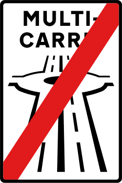
S-2b
Indicates the end of a multi-lane road.
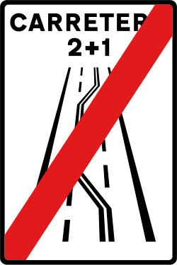
S-2c
Indicates the end of a 2+1 road.
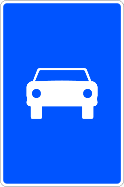
S-3
Indicates the beginning of a road reserved for the circulation of motor vehicles.
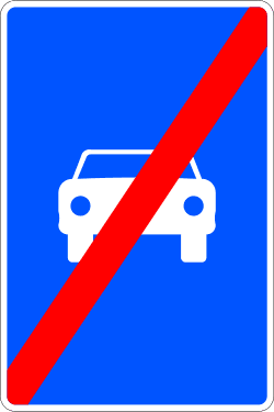
S-4
Indicates the end of a road reserved for motor vehicles.
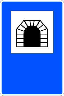
S-5
Indicates the beginning and eventually the name of a tunnel, an underpass, or a road section equated to a tunnel. It may show the length of the tunnel in meters at its bottom part.
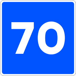
S-7
Recommends an approximate driving speed, in kilometers per hour, which it is advised not to exceed, even if the meteorological and environmental conditions of the road and traffic are favorable. When placed below a danger warning sign, the recommendation refers to the section where that danger persists.
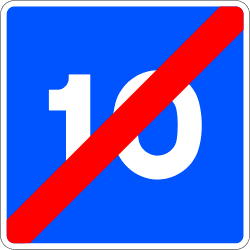
S-8
Indicates the end of a section where driving at the speed in kilometers per hour indicated on the sign is recommended.
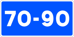
S-9
Recommends maintaining the speed between the indicated values, provided that the meteorological and environmental conditions of the road and traffic are favorable. When placed below a danger warning sign, the recommendation refers to the section where that danger persists.
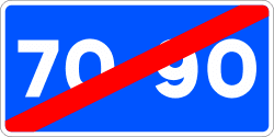
S-10
Indicates the place from which a previous recommended speed range sign ceases to apply.

S-11
Indicates that, on the carriageway extending in the direction of the arrow, vehicles must travel in the direction indicated by it, and that traffic in the opposite direction is prohibited.

S-11a
Indicates that, on the carriageway extending in the direction of the arrows (two lanes), vehicles must travel in the direction indicated by them, and that traffic in the opposite direction is prohibited.
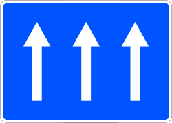
S-11b
Indicates that, on the carriageway extending in the direction of the arrows (three lanes), vehicles must travel in the direction indicated by them, and that traffic in the opposite direction is prohibited.

S-12a
Indicates that, in the section of the carriageway extending in the direction of the arrow, vehicles must travel in the direction indicated by it, with traffic in the opposite direction being prohibited.

S-12b
Indicates that in the section of the carriageway extending in the direction of the arrow, vehicles must travel in the direction indicated by it, and that traffic in the opposite direction is prohibited.
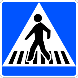
S-13
Indicates the location of a pedestrian crossing.
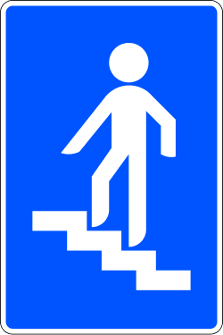
S-14a
Indicates the location of a pedestrian overpass.
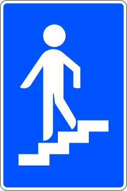
S-14b
Indicates the location of a pedestrian underpass.
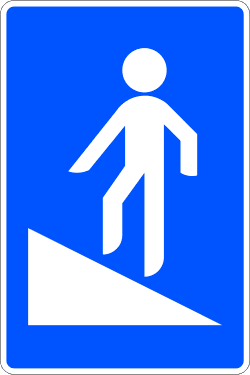
S-14c
Indicates the location of a pedestrian overpass equipped with a ramp.
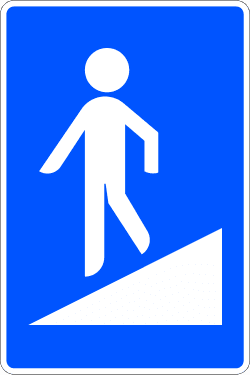
S-14d
Indicates the location of a pedestrian underpass equipped with a ramp.
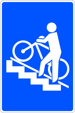
S-14e
Indicates the location of a pedestrian overpass equipped with a rail or ramp for cycles.
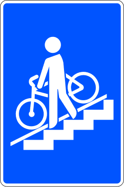
S-14f
Indicates the location of a pedestrian underpass equipped with a rail or ramp for cycles.

S-15
Indicates that, from the carriageway shown on the sign with a red square, vehicles can only leave by the place of entry.
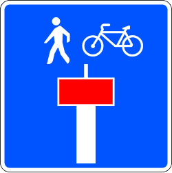
S-15e
Indicates that the carriageway shown on the sign with a red square is a dead end except for pedestrians or cycles. The pictogram(s) of the users affected by the exception will be featured.
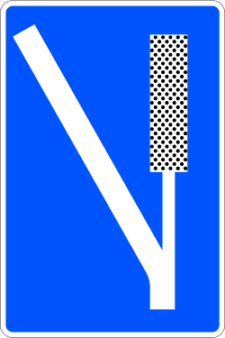
S-16
Indicates the location of an escape lane off the carriageway, prepared so that a vehicle can be stopped in case of failure of its braking system.
S-17
Indicates a location where vehicle parking is authorized. An inscription or symbol representing certain classes of vehicles indicates that parking is reserved for those classes. An inscription with time indications limits the duration of the signaled parking.
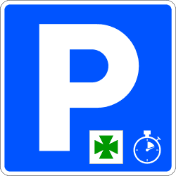
S-17a
Indicates the place where vehicle parking is authorized only for a specific purpose (access to a pharmacy, hospital, etc.) whose pictogram will be included on the sign, and for a specific duration. The length of this time will be indicated on a supplementary panel.

S-18
Indicates the place reserved for the stopping and parking of free taxis in service. The inscription of a number indicates the total number of spaces reserved for this purpose.
S-19
Indicates the place reserved for a bus stop.
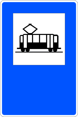
S-20
Indicates the place reserved for a tram stop.
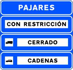
S-21
Panel 3 may carry an inscription of the place from which the indications of panels 1 and 2 apply.
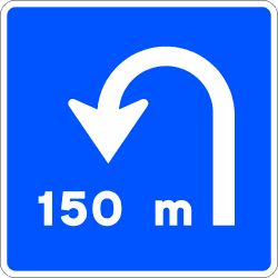
S-22
Indicates the proximity of a place where a U-turn can be made at the same level.

S-23
Indicates, furthermore, to drivers of vehicles the convenience of taking the precautions required by the proximity of medical establishments, especially avoiding noise creation.

S-24
Indicates the end of a section where dipped or low beam headlights are mandatory and reminds of the possibility to do without them, provided it is not imposed by circumstances of visibility, time, or road lighting.
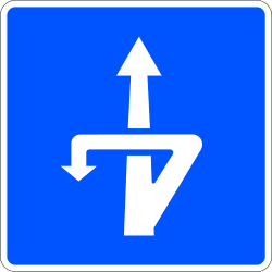
S-25
Indicates the proximity of an exit through which a U-turn can be performed at a different level.

S-26
Indicates on a motorway, dual carriageway, or road for motor vehicles that the next exit is located approximately at 300, 200, and 100 meters respectively.
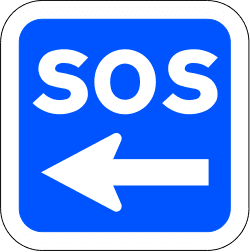
S-27
Indicates the location of the nearest SOS post or first aid station from which assistance can be requested in case of an accident or breakdown. The sign may indicate the distance to it.
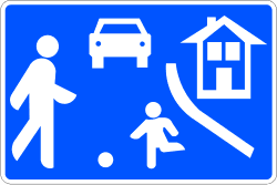
S-28
Indicates specially adapted traffic areas that are intended primarily for pedestrians and where the following special traffic rules apply: the maximum speed of vehicles is set at 20 kilometers per hour and drivers must grant priority to pedestrians. Vehicles cannot park except in places designated by signs or markings. Pedestrians can use the entire traffic area. Games and sports are authorized in it. Pedestrians must not unnecessarily obstruct drivers of vehicles.
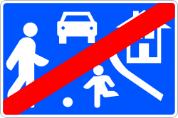
S-29
Indicates that the general traffic rules apply again.
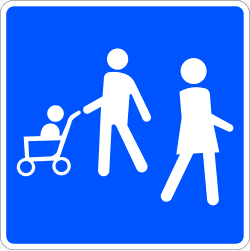
S-30a
Indicates an area reserved for pedestrian use.
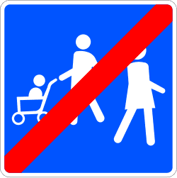
S-31a
Indicates the end of an area reserved for pedestrian use.

S-32
Indicates that the vehicle traveling through the lane or lanes signed as such can make the toll payment via the dynamic toll or electronic toll system, provided it is equipped with the technical means that allow its use.
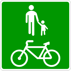
S-33
Indicates the existence of a track for pedestrians and cycles, segregated from motorized traffic, and which runs through open spaces, parks, gardens, or forests.
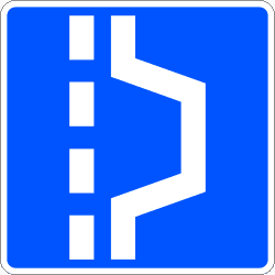
S-34
Indicates the location of a place where a vehicle can pull over in a tunnel in order to leave the passage clear.

S-34a
Indicates the location of a place where a vehicle can pull over in a tunnel in order to leave the passage clear, and which has an emergency telephone. Lane signs indicate special regulations for one or more lanes of the carriageway.

S-35
Indicates the existence of a track intended for the circulation of cycles and prohibition for other road users to use it.
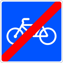
S-36
Indicates the end of a track intended for the circulation of cycles.
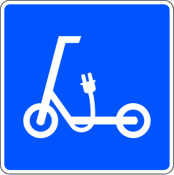
S-37
Indicates the existence of a track intended for the circulation of personal mobility devices and prohibition for other road users to use it.
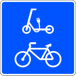
S-38
Indicates the existence of a track intended for the circulation of cycles and personal mobility devices and prohibition for other road users to use it.
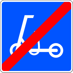
S-39
Indicates the end of a track intended for the circulation of personal mobility devices and prohibition for other road users to use it.
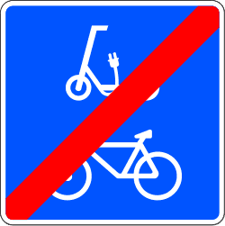
S-40
Indicates the end of a track intended for the circulation of cycles and personal mobility devices and prohibition for other road users to use it.
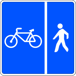
S-41
Indicates the existence of a track intended for the circulation of cycles and pedestrians with segregated spaces between both. The design of the sign may adapt to the actual layout of the spaces on each track.
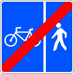
S-42
Indicates the end of a track intended for the circulation of cycles and pedestrians with segregated spaces between both. The design of the sign may adapt to the actual layout of the spaces on each track.
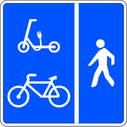
S-43
Indicates the existence of a track intended for the circulation of cycles, personal mobility devices, and pedestrians with segregated spaces between the first two and the third. The design of the sign may adapt to the actual layout of the spaces on each track.
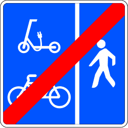
S-44
Indicates the end of a track intended for the circulation of cycles, personal mobility devices, and pedestrians with segregated spaces between the first two and the third. The design of the sign may adapt to the actual layout of the spaces on each track.
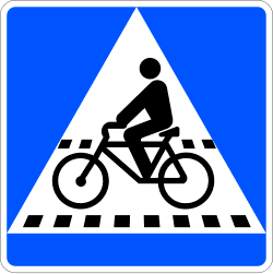
S-45
Indicates the location of a crossing for cyclists.
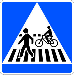
S-46
Indicates the location of a pedestrian crossing adjacent to or shared with a crossing for cyclists.
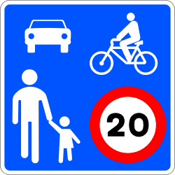
S-47
Indicates a traffic zone that is intended primarily for pedestrians and where the following special traffic rules apply: the maximum speed of vehicles will be 20 km/h; traffic is shared between vehicles, cyclists, and pedestrians; pedestrians have priority, can use the entire traffic area, and therefore pedestrian crossings are not signed; cycles and, where applicable, PMVs can travel in both directions, unless the competent authority establishes otherwise; vehicles can park only in places designated by signs or markings; games and sports are not authorized.
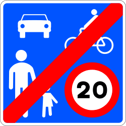
S-48
Indicates that the general traffic rules apply again.
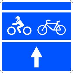
S-49
Indicates the existence of a waiting zone prior to the stop line of an intersection regulated by traffic lights, reserved for the vehicles indicated on the sign (motorcycles, three-wheeled vehicles assimilated to motorcycles, and mopeds, with the three types represented by the motorcycle pictogram, or cycles).
30 panneaux
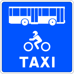
S-51a
Indicates a lane intended exclusively for the circulation of a certain type or types of vehicles (buses, motorcycles, three-wheeled vehicles assimilated to motorcycles, taxis, cycles, etc.). The representative pictogram of the authorized type or types of vehicles will be included on the sign. On sections where the longitudinal road marking bounding the lane consists of a broken line, its use is permitted for other vehicles solely to perform a maneuver that is not stopping, parking, making a U-turn, or overtaking, always leaving preference to vehicles authorized to travel in this lane.
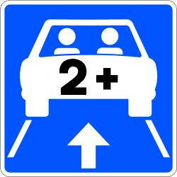
S-51b
Indicates one or more lanes intended exclusively for the circulation of high-occupancy vehicles. The image will show the number of people from which it is considered high occupancy, which will be determined by the competent managing body in each case. If the lane or lanes are reserved not only for HOV but also for another specific type or types of vehicles, the corresponding images may be combined in the same way as in sign S-51a.
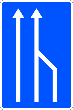
S-52
Pre-signals the lane that is going to cease to be usable, indicating the necessary lane change.
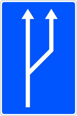
S-53
Indicates, on a section with a single lane in one direction of traffic, that the next section will feature two lanes in the same direction of traffic.
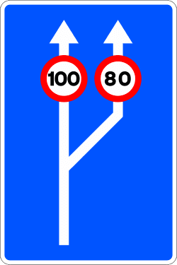
S-53a
Indicates, on a section with a single traffic lane in one direction, that the next section will feature two lanes in the same direction of traffic. It also indicates the maximum speed permitted in each of them.
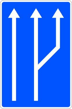
S-53b
Indicates, on a section with two lanes in one direction of traffic, that the next section will feature three lanes in the same direction of traffic.
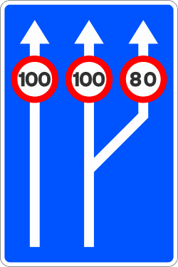
S-53c
Indicates, on a section with two lanes in one direction of traffic, that the next section will feature three lanes in the same direction of traffic. It also indicates the maximum speed permitted in each of them.
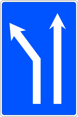
S-60a
Indicates, on a carriageway with two lanes of traffic in the same direction, that in the next section the left lane will split towards that same side.

S-60b
Indicates, on a carriageway with two lanes of traffic in the same direction, that in the next section the right lane will split towards that same side.

S-61a
Indicates, on a carriageway with three lanes of traffic in the same direction, that in the next section the left lane will split towards that same side.

S-61b
Indicates, on a carriageway with three lanes of traffic in the same direction, that in the next section the right lane will split towards that same side.
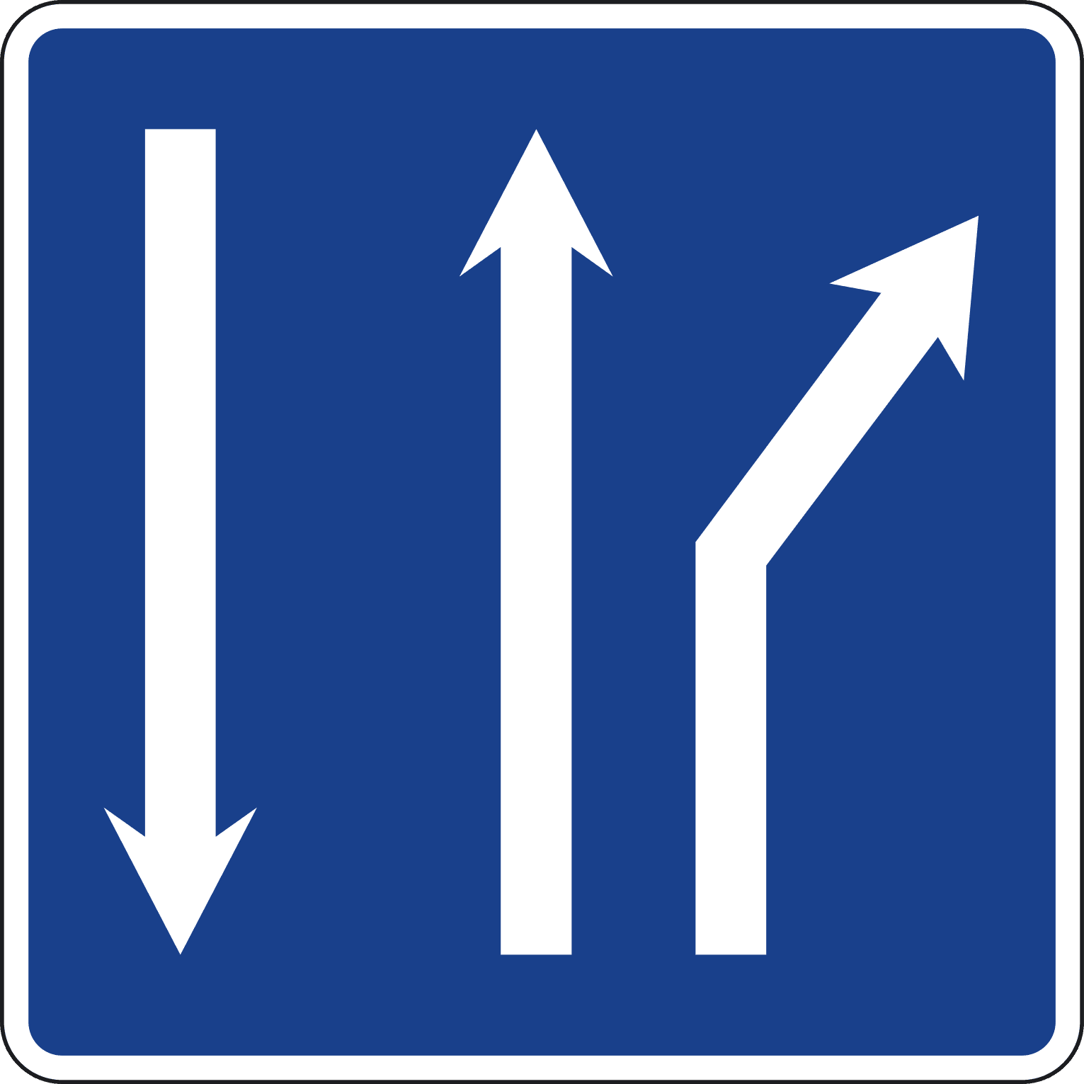
S-61c
Indicates, on a two-way carriageway with two lanes of traffic in the direction of travel, that a split with a change of direction will occur in the right lane.

S-62a
Indicates, on a carriageway with four lanes of traffic in the same direction, that in the next section the left lane will split towards that same side.
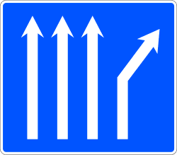
S-62b
Indicates, on a carriageway with four lanes of traffic in the same direction, that in the next section the right lane will split towards that same side.
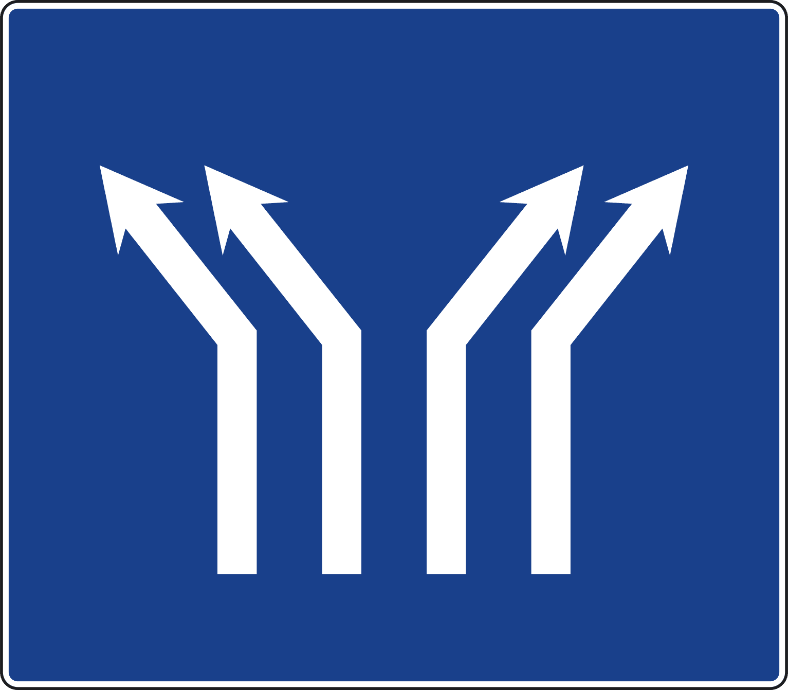
S-63a
Indicates, on a carriageway with four lanes of traffic in the same direction, that in the next section the two left lanes will split to the left and the two right lanes to the right.

S-63b
Indicates, on a carriageway with three lanes of traffic in the same direction, that a split will occur in the central lane with a change of direction of the four resulting lanes, two to the left and two to the right.
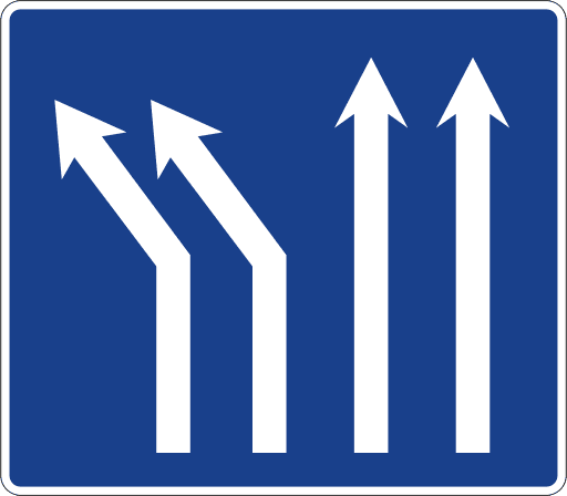
S-63c
Indicates, on a carriageway with four lanes of traffic in the same direction, that a split with a change of direction will occur in the two left lanes.
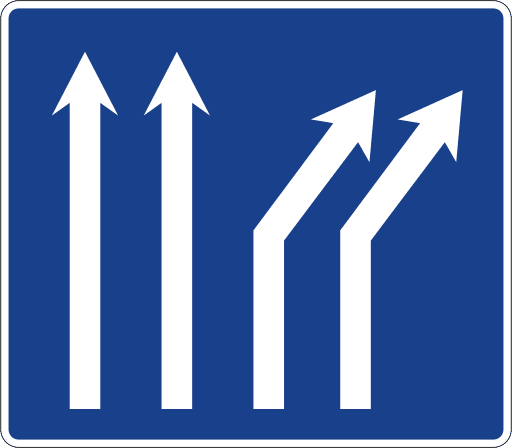
S-63d
Indicates, on a carriageway with four lanes of traffic in the same direction, that a split with a change of direction will occur in the two right lanes.

S-64
Indicates that the lane over which the cycle track sign is located can only be used by cycles. The arrows will indicate the number of lanes on the road, as well as their direction of traffic.
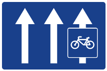
S-65
Indicates that the lane over which the sign is located is reserved for the circulation of cycles, with its use being prohibited for other road users. The arrows will indicate the number of lanes on the road.
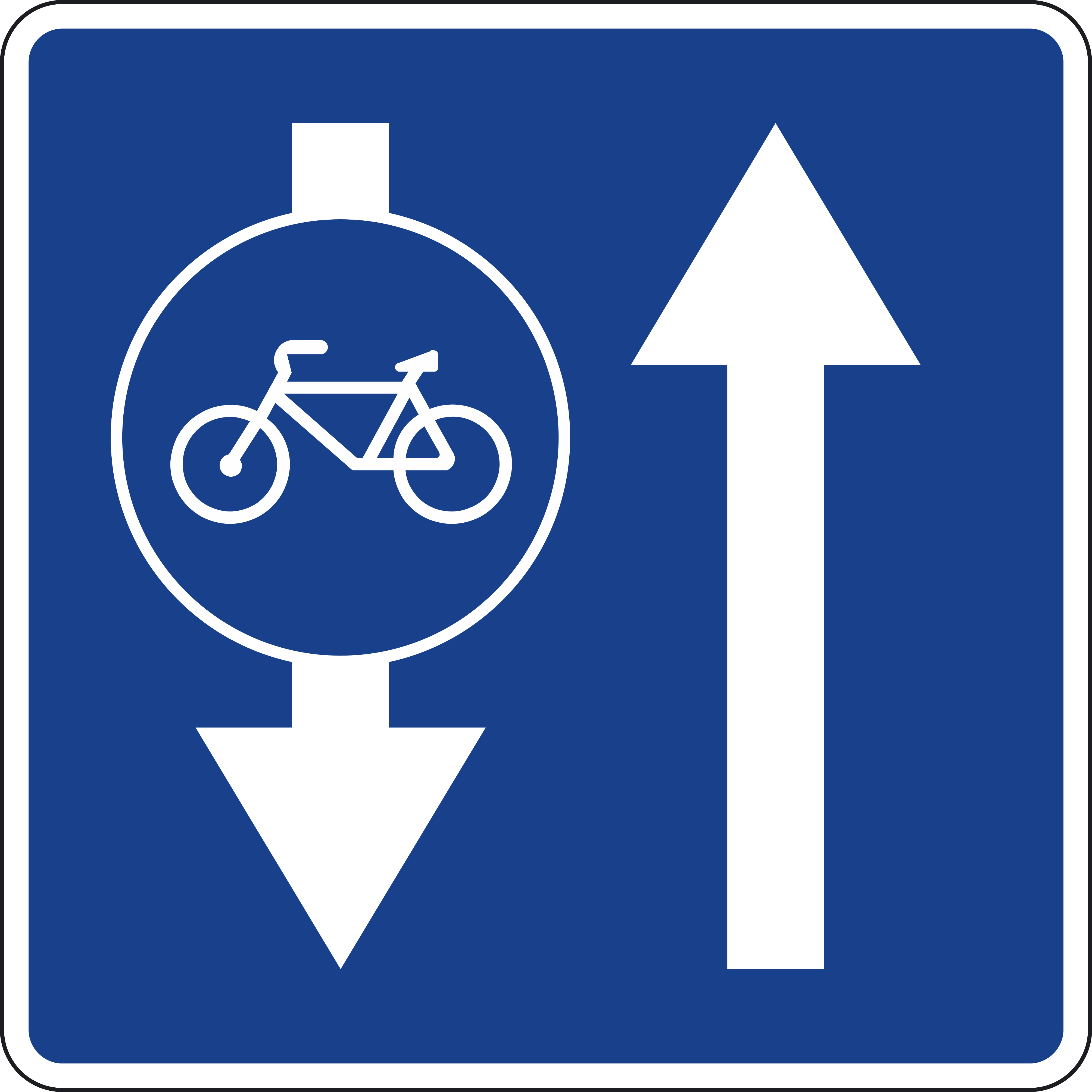
S-66
Indicates the existence of a mandatory lane for cycles whose direction of traffic is opposite to that of the adjacent lane.
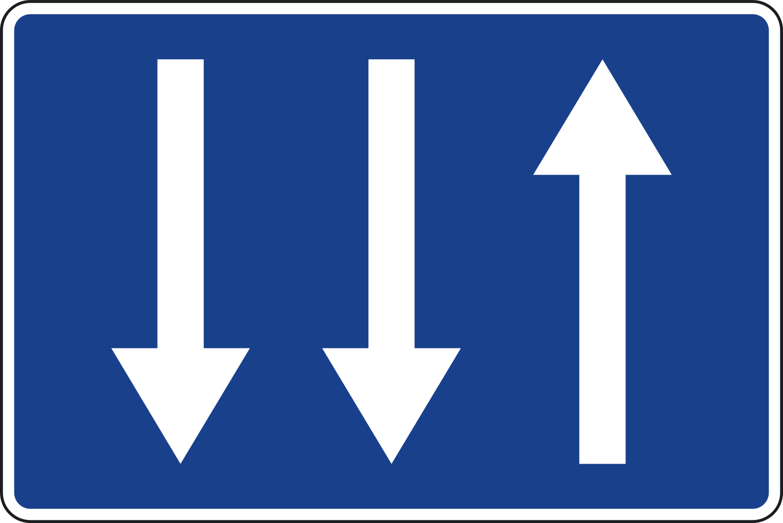
S-68
Indicates, on a two-way carriageway, that one lane is available for the own direction, while the opposite direction has two. The length over which this configuration is maintained will be specified by a supplementary panel S-810.
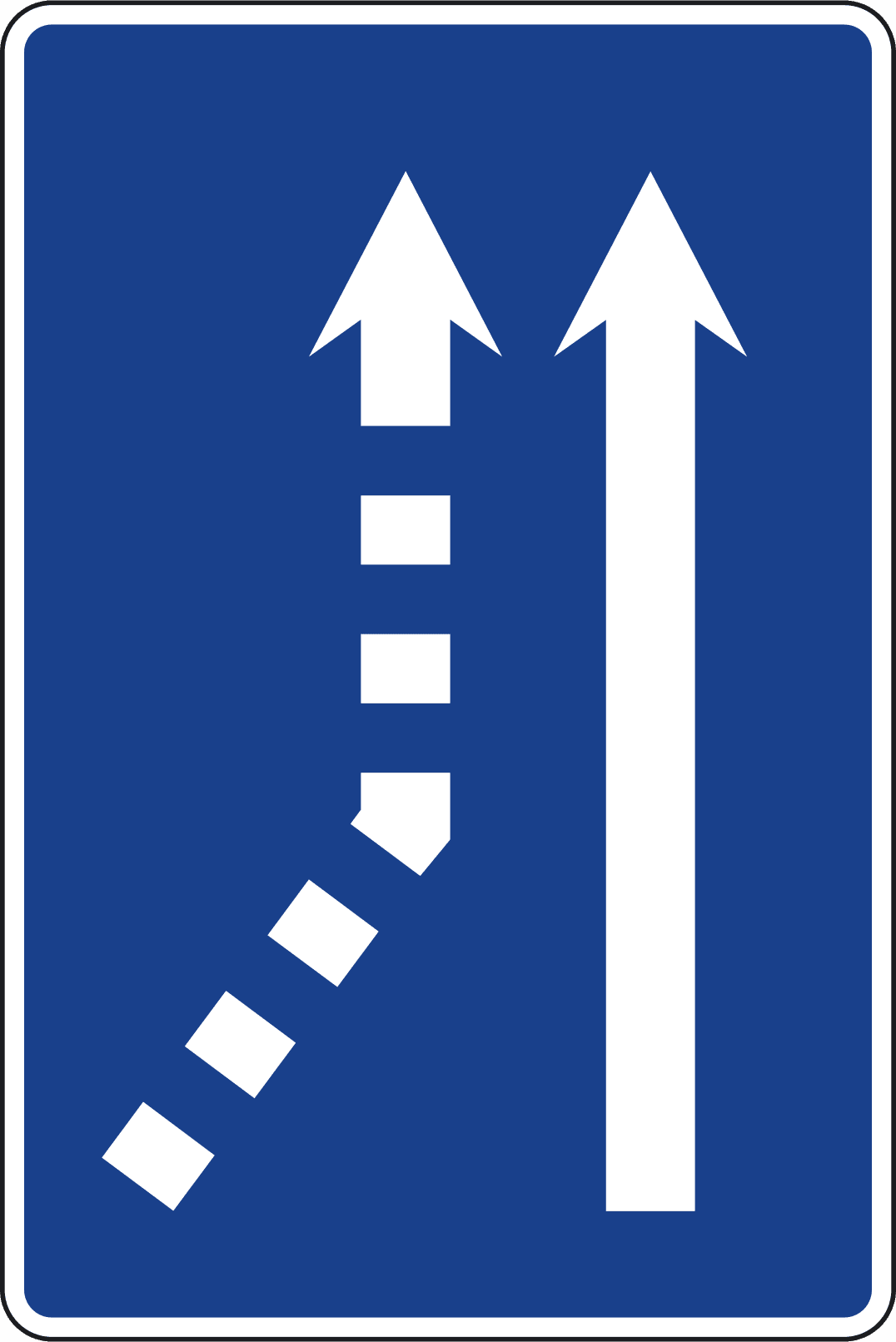
S-70a
Indicates, on a carriageway with a single traffic lane, that a lane merge will occur from the left side.
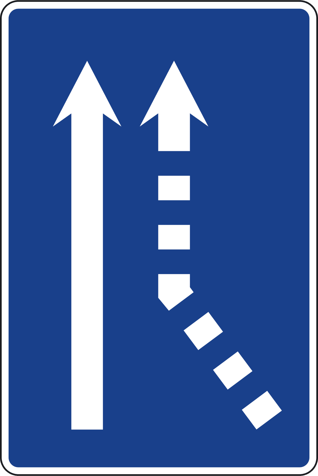
S-70b
Indicates, on a carriageway with a single traffic lane, that a lane merge will occur from the right side.
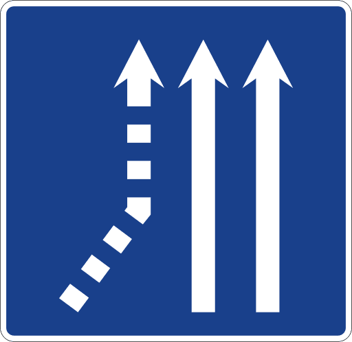
S-71a
Indicates, on a carriageway with two traffic lanes in the same direction, that a lane merge will occur from the left side.
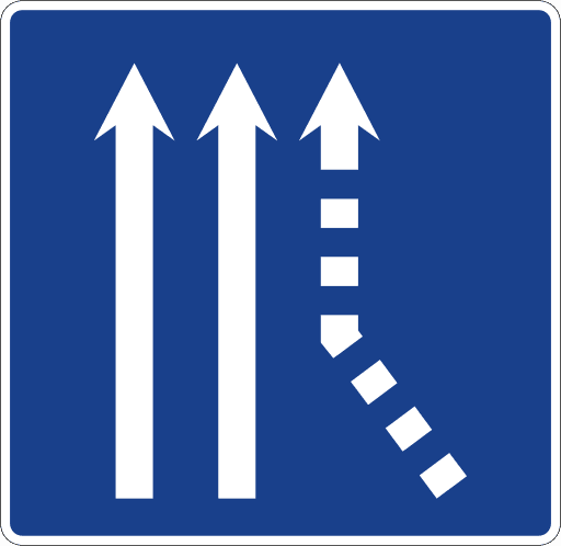
S-71b
Indicates, on a carriageway with two traffic lanes in the same direction, that a lane merge will occur from the right side.
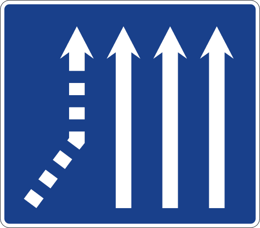
S-72a
Indicates, on a carriageway with three traffic lanes in the same direction, that a lane merge will occur from the left side.
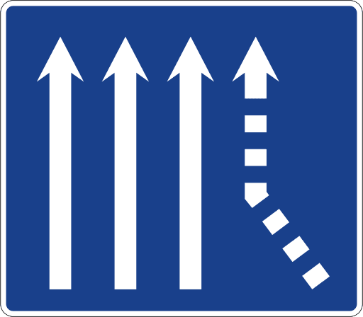
S-72b
Indicates, on a carriageway with three traffic lanes in the same direction, that a lane merge will occur from the right side.
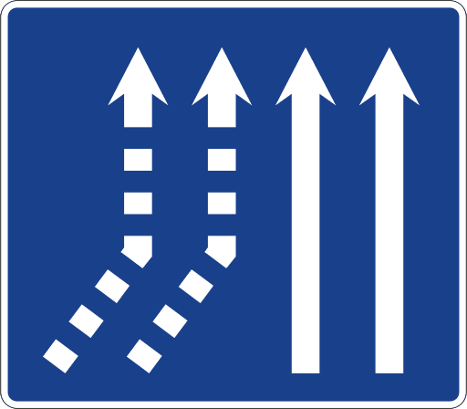
S-73a
Indicates, on a carriageway with two traffic lanes in the same direction, that a merge of two lanes will occur from the left side.
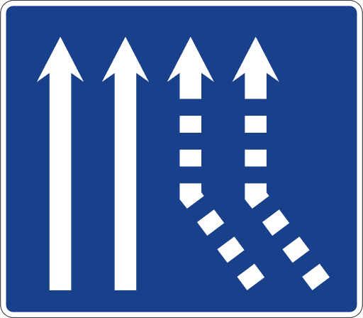
S-73b
Indicates, on a carriageway with two traffic lanes in the same direction, that a merge of two lanes will occur from the right side.
34 panneaux

S-100
Indicates the location of an officially recognized center where emergency medical treatment can be administered.

S-101
Indicates the location of an ambulance in permanent service for the treatment and transport of the injured in traffic accidents.

S-102
Indicates the location of a vehicle technical inspection (MOT/ITV) station.

S-103
Indicates the location of a car repair workshop.

S-104
Indicates the location of a public telephone apparatus.

S-105
Indicates the location of a fuel pump or service station.
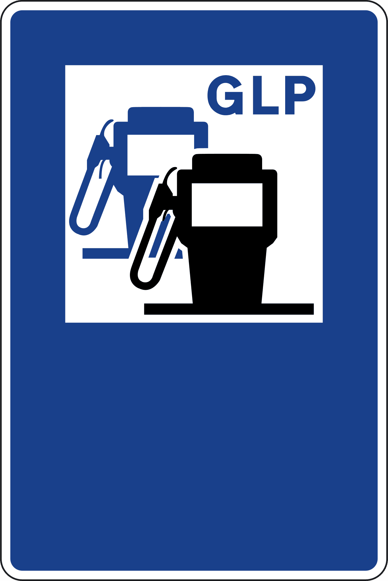
S-105b
Indicates the location of a fuel pump or service station with availability of liquefied petroleum gas (LPG) or autogas.
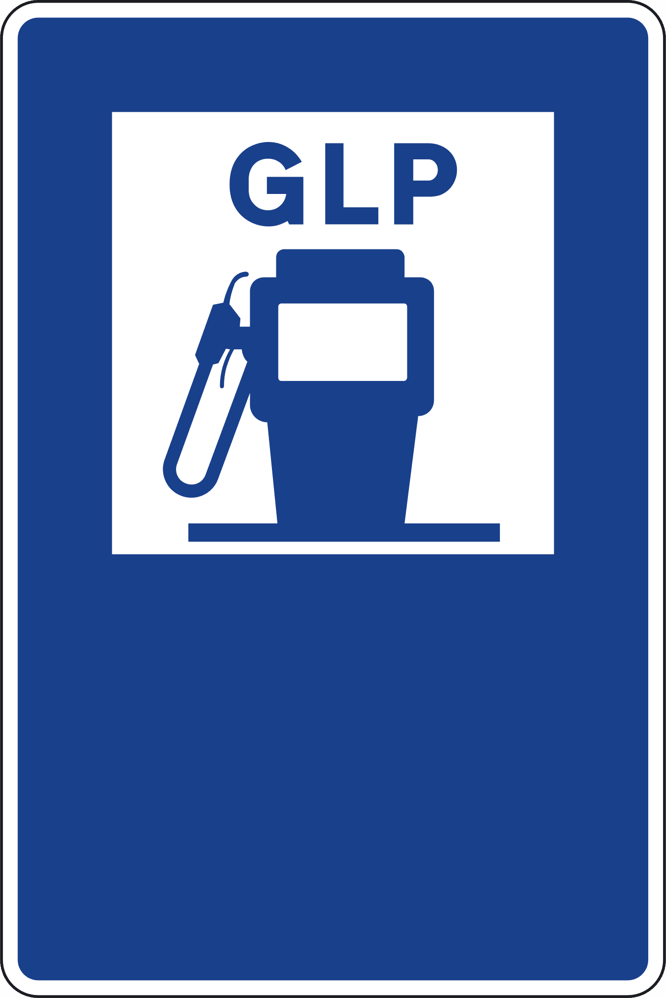
S-105c
Indicates the location of a fuel pump or service station for liquefied petroleum gas (LPG) or autogas.
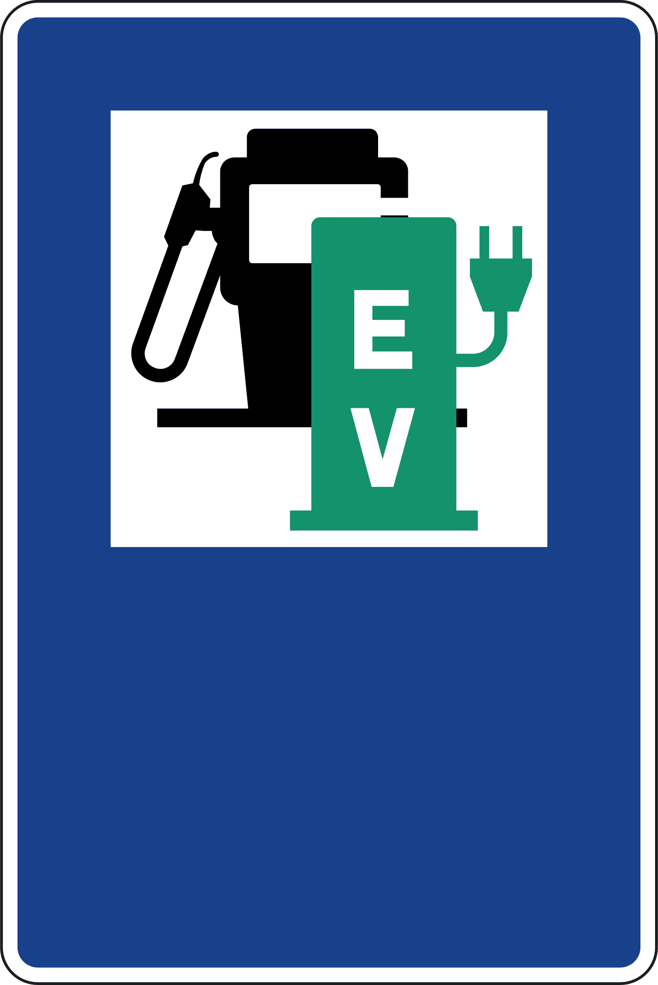
S-105d
Indicates the location of a fuel pump or service station with availability of an electric vehicle charging station.
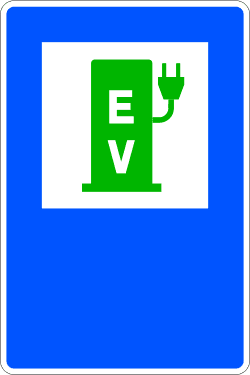
S-105e
Indicates the location of an electric vehicle charging station.
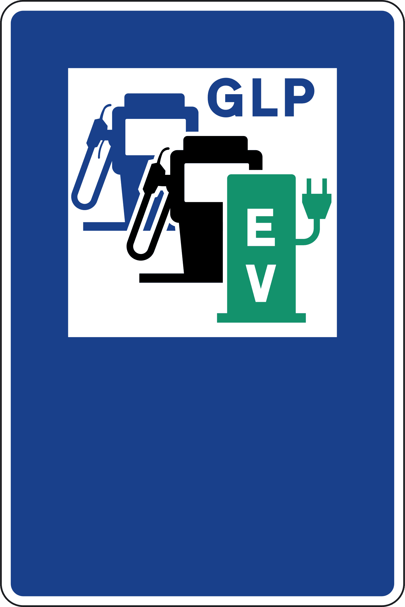
S-105f
Indicates the location of a fuel pump or service station with availability of liquefied petroleum gas (LPG) or autogas and an electric vehicle charging station.
S-106
Indicates the location of a facility that features both a repair workshop and a fuel pump.

S-107
Indicates the location of a place (campsite) where camping is permitted.

S-108
Indicates the location of a water fountain.

S-109
Indicates a picturesque spot or the location from which it can be viewed.

S-110
Indicates the location of a hotel or motel.

S-111
Indicates the location of a restaurant.

S-112
Indicates the location of a bar or cafeteria.

S-113
Indicates the location of a site where camping with a trailer-home (caravan) is permitted.

S-114
Indicates a place that can be used for consuming food or drinks.
S-115
Indicates an appropriate place to start hiking excursions.

S-116
Indicates the location of a place where camping with a tent or a trailer-home is permitted.

S-117
Indicates the location of a hostel whose use is reserved for youth organizations.

S-118
Indicates the location of a tourist information office.

S-119
Indicates a section of a river or lake where fishing is subject to special authorization.

S-120
Indicates the location of a national park whose name is not inscribed.

S-121
Indicates the location of a historical or artistic work declared a monument.

S-122
Generic sign for any other service, which will be inscribed in the white box.

S-123
Indicates the location of a rest area.
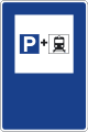
S-124
Indicates the location of a parking area connected to a railway station and intended primarily for vehicles of users who perform part of their journey by private vehicle and the other by train.
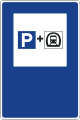
S-125
Indicates the location of a parking area connected to an underground railway station and intended primarily for vehicles of users who perform part of their journey by private vehicle and the other by underground train.
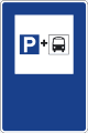
S-126
Indicates the location of a parking area connected to a bus station or terminal and intended primarily for private vehicles of users who perform part of their journey by private vehicle and the other by bus.

S-128
Indicates the location of a waste disposal point for caravans and motorhomes.
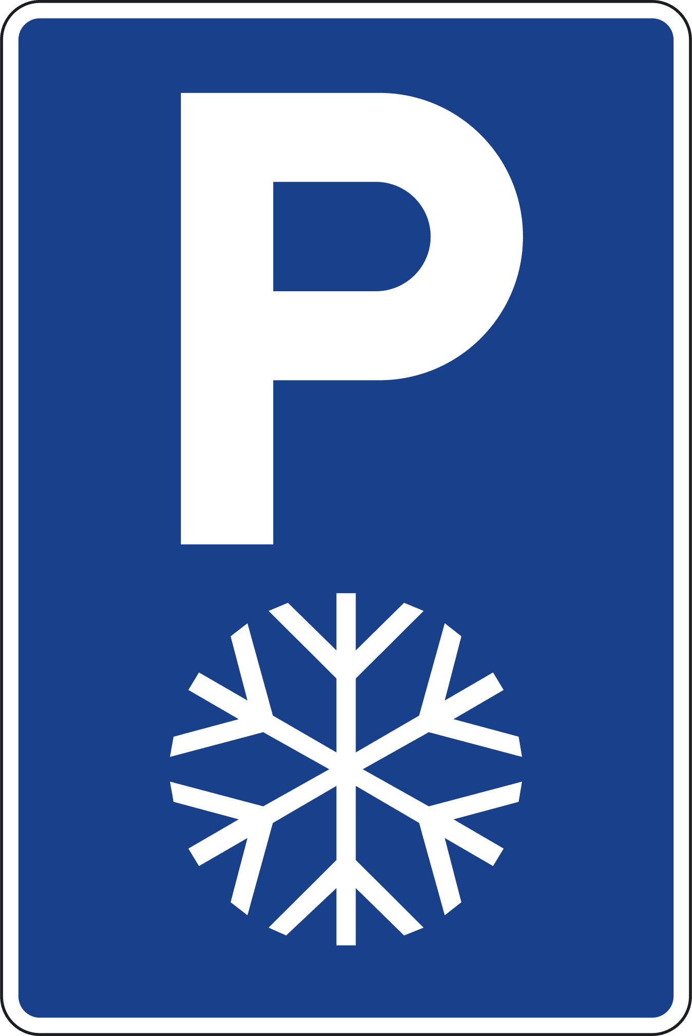
S-129
Indicates the location of an emergency parking area for snowstorms and, exceptionally, for incidents.
23 panneaux
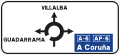
S-200
Indicates the directions of the different exits of the upcoming roundabout. If any inscription features a blue background, it indicates that the exit leads towards a motorway or dual carriageway.
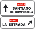
S-220
Indicates, on a conventional road, the directions of the different branches of the upcoming intersection when one of them leads to a conventional road.
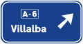
S-222
Indicates, on a conventional road, the directions of the different branches of the upcoming intersection when one of them leads to a motorway or a dual carriageway.
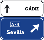
S-222a
Indicates, on a conventional road, the directions of the different branches of the upcoming intersection when one of them leads to a motorway or a dual carriageway. It also indicates the continuing direction of the conventional road.
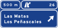
S-225
Indicates on a motorway or dual carriageway the directions of the different branches at the upcoming intersection. It also indicates the distance, the number, and, where applicable, the letter of the junction and branch.
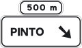
S-230
Indicates the directions of the branch of the next exit and the distance at which it is located.
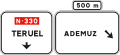
S-230a
Indicates the directions of the branch of the next exit and the distance at which it is located. It also indicates the continuing direction of the conventional road.
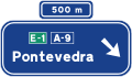
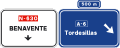
S-232
Indicates the directions of the branch of the next exit and the distance at which it is located.
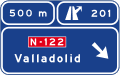
S-232a
Indicates the directions of the branch of the next exit and the distance at which it is located. It also indicates the continuing direction of the conventional road.
S-235
Indicates the directions of the branch of the next exit, the distance at which it is located, and the junction number.

S-235a
Indicates the directions of the branch of the next exit, the distance at which it is located, and the junction number. It also indicates the continuing direction of the motorway or dual carriageway.
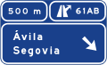
S-242
Indicates the directions of the branches of two consecutive exits from the motorway or dual carriageway, the distance, the junction number, and the letter of each exit.

S-242a
Indicates the directions of the branches of two consecutive exits from the motorway or dual carriageway, the distance, the junction number, and the letter of each exit. It also indicates the continuing direction of the motorway or dual carriageway.

S-250
Indicates the route that must be followed to take the direction pointed out by the arrow.
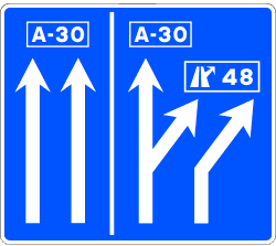
S-260
Indicates the only permitted directions, at the upcoming intersection, for users traveling along the signaled lanes.
S-261
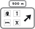
Indicates, on a conventional road, the proximity of an exit towards a service zone or area.
S-263
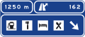
Indicates, on a motorway or dual carriageway, the proximity of an exit towards a service zone or area, and that it coincides with an exit towards one or more towns.
S-263a
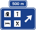
Indicates, on a motorway or dual carriageway, the proximity of an exit towards a service zone or area.
S-264
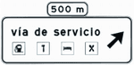
Indicates, on a conventional road, the proximity of an exit towards a service road from which the indicated services can be accessed.
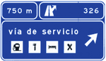
S-266
Indicates, on a motorway or dual carriageway, the proximity of an exit towards a service road from which the indicated services can be accessed, and that it coincides with an exit towards one or more towns.
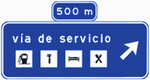
S-266a
Indicates, on a motorway or dual carriageway, the proximity of an exit towards a service road from which the indicated services can be accessed.
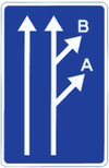
S-270
Indicates the proximity of two consecutive exits between which, due to a lack of sufficient distance, it is not possible to install individual orientation signs for each exit. The letters or, where applicable, numbers correspond to those of the immediately preceding advance signs.
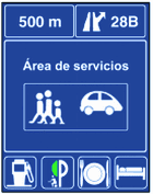
S-271
Indicates, on a motorway or dual carriageway, the exit towards a service area.
23 panneaux

S-300
Indicates the names of towns located on a route consisting of a conventional road and the direction to reach them. The box located inside the sign defines the category and number of the road. The figures inscribed inside the sign indicate the distance in kilometers.

S-301
Indicates the names of towns located on a route consisting of a motorway or dual carriageway and the direction to reach them. The box located inside the sign defines the category and number of the road. The figures inscribed inside the sign indicate the distance in kilometers.
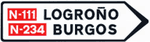
S-310
Indicates the roads and towns reached in the direction pointed out by the arrow.
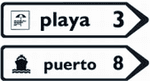
S-320
Indicates places of general interest that are not towns, located on a route consisting of a conventional road. The figures inscribed inside the sign indicate the distance in kilometers.
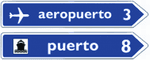
S-321
Indicates places of interest that are not towns, located on a route consisting of a motorway or dual carriageway. The figures inscribed inside the sign indicate the distance in kilometers.
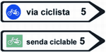
S-322
Indicates the existence, in the direction pointed out by the arrow, of a cycle lane or cycle path. The figures written inside the sign indicate the distance in kilometers.

S-341
Indicates the place of exit from a motorway or dual carriageway towards a conventional road. The figure indicates the junction number which corresponds to the kilometer point of the road.

S-342
Indicates the place of exit from a motorway or dual carriageway towards another motorway or dual carriageway. The figure indicates the junction number which corresponds to the kilometer point of the road.

S-344
Indicates the place of exit from any road towards a zone, area, or service road.

S-347
Indicates the place of exit from any road towards a zone, area, or service road, and that it coincides with an exit towards a motorway or dual carriageway.

S-348a
Indicates that, via the temporary diversion route and in the direction indicated by the arrow, the destination featured on the sign is reached.

S-348b
Indicates that in the direction pointed out by the arrow, the destination featured on the sign is reached.
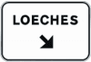
S-350
Indicates, on the conventional road, at the place where the exit branch begins, the directions reached via the immediate exit through a conventional road and, where applicable, its number.
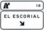
S-351
Indicates, on a motorway and dual carriageway, at the place where the exit branch of any road begins, the directions reached via the immediate exit through a conventional road and, where applicable, its number. It also indicates the number and, where applicable, letter of the junction and branch.
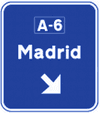
S-354
Indicates, at the place where the exit branch begins, the directions reached via the immediate exit through a motorway or dual carriageway and, where applicable, their number.
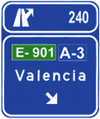
S-355
Indicates, at the place where the exit branch begins, the directions reached via the immediate exit through a motorway or dual carriageway and, where applicable, their number. It also indicates the number and, where applicable, letter of the junction and branch.
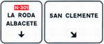
S-360
Indicates, on a conventional road, the directions reached via the immediate exit towards another conventional road. It also indicates the continuing direction of the conventional road and its number.
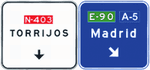
S-362
Indicates, on a conventional road, the directions reached via the immediate exit towards a motorway or a dual carriageway. It also indicates the continuing direction of the conventional road.
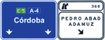
S-366
Indicates, on a motorway or dual carriageway, the directions reached via the immediate exit towards a conventional road, as well as the junction number and, where applicable, the branch letter. It also indicates the continuing direction of the motorway or dual carriageway.
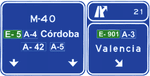
S-368
Indicates, on a motorway or dual carriageway, the directions reached via the immediate exit towards a motorway or a dual carriageway, as well as the junction number and, where applicable, the branch letter. It also indicates the continuing direction of the motorway or dual carriageway.
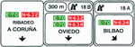
S-371
Two very close immediate exits towards a conventional road and continuing direction.
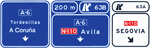
S-373
Indicates the directions of the branches of two consecutive exits from the motorway or dual carriageway, the distance of the second, the junction number, and the letter of each exit. It also indicates the continuing direction of the motorway or dual carriageway.

S-375
Indicates the directions of the branches of two consecutive exits from the motorway or dual carriageway, the distance of the second, the junction number, and the letter of each exit. It also indicates the continuing direction of the motorway or dual carriageway.
7 panneaux

S-400
Identifies a route of the European network.

S-410
Identifies a motorway or dual carriageway. When it is of regional scope, in addition to the letter A and following the corresponding number or else above the sign with a supplementary panel, the identification acronyms of the autonomous community may be included. No road that does not have motorway or dual carriageway characteristics can be identified with the letter A. When the motorway or dual carriageway is a ring road or bypass, the letter A may be substituted by the indicative letters of the city, in accordance with the code established for this purpose by the Ministries of Development and Interior.

S-410a
Identifies a toll motorway.

S-420
Identifies a road of the State general network that is not a motorway or dual carriageway.

S-430
Identifies a first-level road, which is not a motorway or dual carriageway, of the regional network of the community to which the identification acronyms correspond.

S-440
Identifies a second-level road, which is not a motorway or dual carriageway, of the regional network of the community to which the identification acronyms correspond.

S-450
Identifies a third-level road, which is not a motorway or dual carriageway, of the regional network of the community to which the identification acronyms correspond.
12 panneaux
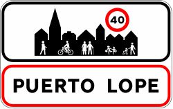
S-500
Indicates the place from which the traffic rules relating to built-up areas apply.

S-510
Indicates the place from which the traffic rules relating to built-up areas cease to apply.

S-520
Indicates a place of general interest on the road.

S-540
Indicates the place from which the road enters a province.

S-550
Indicates the place from which the road enters an autonomous community.
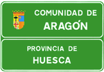
S-560
Indicates the place from which the road enters an autonomous community and province.
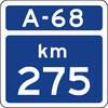
S-570
Indicates the kilometer point of the motorway or dual carriageway whose identification appears at the top.
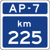
S-570a
Indicates the kilometer point of the toll motorway whose identification appears at the top.
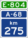
S-571
Indicates the kilometer point of the motorway or dual carriageway that, furthermore, forms part of a European route, whose identification appears at the top of the sign.
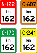
S-572
Indicates the kilometer point of a conventional road whose identification appears at the top over the background color corresponding to the road network to which it belongs.

S-574
Indicates the kilometer point of a motorway or dual carriageway when it is a multiple of 10.
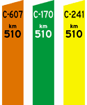
S-575
Indicates the kilometer point of a road that is neither a motorway nor a dual carriageway when it is a multiple of 10. Its color will correspond to that of the network of which said road forms part.
2 panneaux
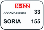
S-600
Indicates, on a conventional road, the names and distances in kilometers to the expressed towns.
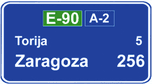
S-602
Indicates, on a motorway or dual carriageway, the names and distances in kilometers to the expressed towns.
8 panneaux

S-700
Indicates the names of streets, avenues, squares, roundabouts, or any other point of the road network.

S-710
Indicates places of interest for travelers, such as stations, airports, port boarding areas, hotels, campsites, tourist offices, and automobile clubs.
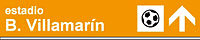
S-720
Indicates places where a sports or recreational interest predominates.

S-730
Indicates places of a geographical type or ecological interest.

S-740
Indicates places of monumental, historical, artistic, or, in general, cultural interest.

S-750
Indicates zones with a significant attraction for trucks, goods, and, in general, heavy industrial traffic.

S-760
Indicates motorways and dual carriageways and the places that can be accessed through them.

S-770
Indicates roads that are not motorways or dual carriageways, the towns that can be accessed through them, as well as other places of public interest not included in signs S-700 to S-760.
14 panneaux

S-800
Indicates the distance from the location of the sign to the point where the danger begins or the regulation applies. If it is placed under a danger warning sign for road narrowing, it can indicate the clear width of said narrowing.

S-810
Indicates the length over which the danger exists or the regulation applies.

S-820
Placed under a prohibitory sign, it indicates the distance over which this prohibition applies in the direction of the arrow.

S-821
Placed under a prohibitory sign, it indicates the distance over which this prohibition applies in the direction of the arrow.
S-830
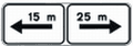
Placed under a prohibitory sign, it indicates the distances over which this prohibition applies in each direction indicated by the arrows.

S-840
Placed under the yield/give way sign, it indicates the distance to the mandatory stop or stop sign at the next intersection.

S-850
Additional panel for sign R-3, indicating the route with priority.

S-851
Additional panel for sign R-3, indicating the route with priority.

S-852
Additional panel for sign R-3, indicating the route with priority.

S-853
Additional panel for sign R-3, indicating the route with priority.

S-860
Panel for any other clarification or delimitation of the sign or traffic light under which it is placed.

S-870
Indicates, under a prohibitory or restrictive sign, that the sign refers exclusively to the exit branch whose direction roughly coincides with that of the arrow. Placed under another sign, it indicates that it applies only to the exit branch.
S-880
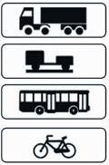
Indicates, under the corresponding vertical sign, that the sign refers exclusively to the vehicles featured on the panel, which can be trucks, vehicles with trailers, buses, or cycles.

S-890
Indicates, under another vertical sign, that it refers to the circumstances shown on the panel, such as snow, rain, or fog.
10 panneaux

S-900
Warns of the danger represented by lighting a fire.
S-910
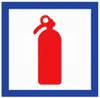
Indicates the location of a fire extinguisher.

S-920
Indicates that Spanish territory has been entered via a road coming from another country.

S-930
Indicates the name of the country towards which the road is heading. The figure at the bottom indicates the distance to the border.
S-940
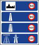
Indicates the generic speed limits on different classes of roads and in urban zones in Spain.
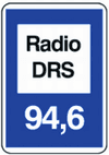
S-950
Indicates the frequency to which the radio receiver must be tuned to receive information.
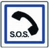
S-960
Indicates the location of an emergency telephone.

S-970
Indicates the location in a lay-by of a fire extinguisher and emergency telephone.

S-980
Indicates the location of an emergency exit.
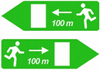
S-990
Indicates the direction and distance to an emergency exit.
Guide rapide
Pour comprendre la circulation sur les routes espagnoles, il est utile d'apprendre à lire la conception des panneaux. Leur forme, leur couleur et leur code technique permettent d'anticiper leur signification, même de loin.